
Page 121 - 75 Digital Solutions from NIC
P. 121
https://bharatmaps.gov.in/
BHARAT MAPS
A Multi-layered GIS Salient Features
Framework
Terrain Base Map Service
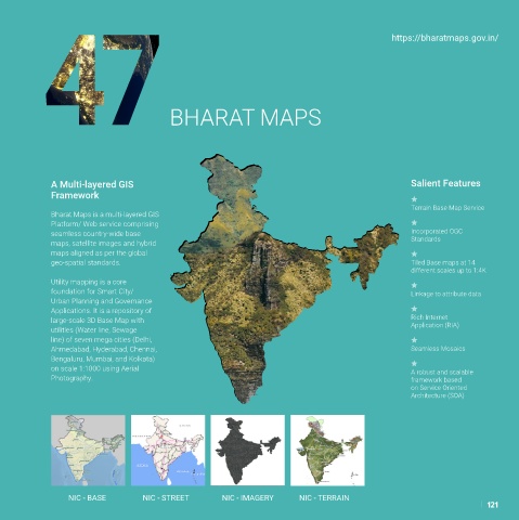
Bharat Maps is a multi-layered GIS
Platform/ Web service comprising
seamless country-wide base Incorporated OGC
maps, satellite images and hybrid Standards
maps aligned as per the global
geo-spatial standards. Tiled Base maps at 14
different scales up to 1:4K
Utility mapping is a core
foundation for Smart City/ Linkage to attribute data
Urban Planning and Governance
Applications. It is a repository of
large-scale 3D Base Map with Rich Internet
Application (RIA)
utilities (Water line, Sewage
line) of seven mega cities (Delhi,
Ahmedabad, Hyderabad, Chennai, Seamless Mosaics
Bengaluru, Mumbai, and Kolkata)
on scale 1:1000 using Aerial A robust and scalable
Photography. framework based
on Service Oriented
Architecture (SOA)
NIC - BASE NIC - STREET NIC - IMAGERY NIC - TERRAIN
121